Categories
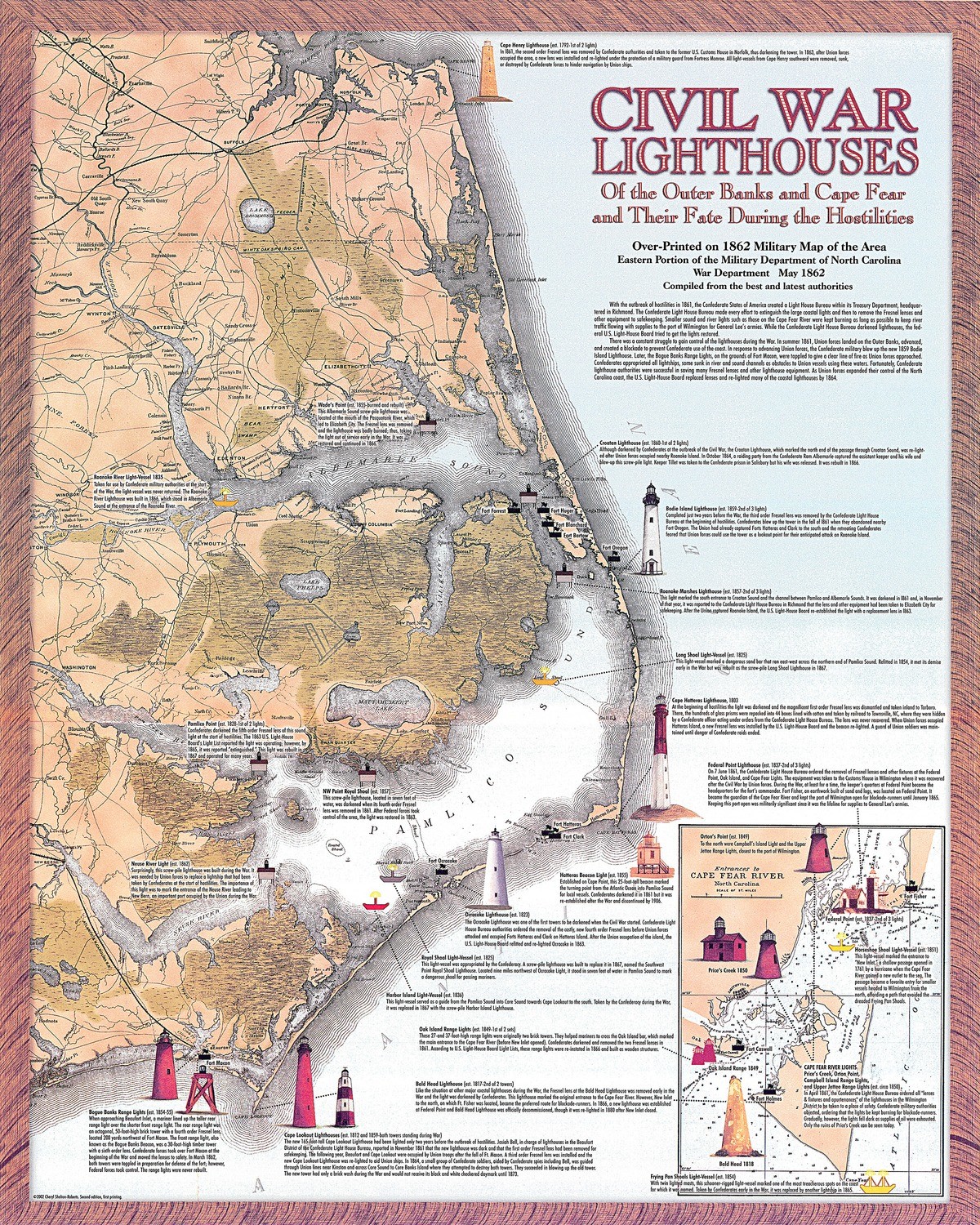
Civil War Lighthouses of the Outer Banks and the Cape Fear and Their Fate During the Hostilities
$20.00
In stock
Product Details
The lighthouses of North Carolina looked a great deal differently in 1861; in fact, only Ocracoke, Cape Lookout, and Bald Head appeared as they do today. A brief history of each light is included on the map, the original of which was an official military map of North Carolina’s coastal region and published by the U.S. War Department in May 1862. Depicted on this appealing and frameable poster are villages, roads, and other points of interest. 16x20 poster shipped in mailing tube.
Civil War Lighthouses of the Outer Banks and the Cape Fear and Their Fate During the Hostilities
